
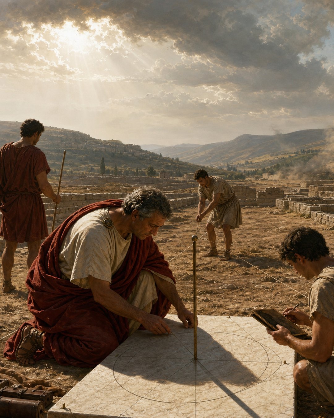
Before a wall rose, Vitruvius wanted a surveyor to stand at the centre of the future city with a level surface, a bronze pin and the sun.
The pin cast a morning shadow across a circle. Hours later, its lengthening afternoon shadow touched that circle again. Joining the two points established the frame from which the planner could divide the horizon into eight winds.
Only then did Vitruvius turn to the streets.
His concern was not a picturesque compass rose. A straight urban corridor could catch a prevailing wind and drive it between walls. He believed those currents carried unhealthy combinations of cold, heat, moisture or dryness. The proposed remedy was geometric: identify the wind axes, then aim streets through the spaces between them.
The procedure made moving air legible before stone fixed the plan. Wind left no foundation trench, but a measured circle could give it boundaries.
A straight street could become an instrument for the wind
Vitruvius places the problem early in his instructions for founding a city. After choosing a site for health and defensibility, the planner must consider the direction of streets and alleys. Orientation was not merely a matter of fitting gates, creating impressive views or shortening a walk. The street itself changed the way air moved through inhabited space.
A broad current meeting an irregular front is broken by corners and buildings. A current aligned with a long corridor gains a clear route. Anyone who has turned from a sheltered square into a narrow gusty lane knows the physical distinction, but Vitruvius made it a design decision rather than a surprise left for residents.
His medical explanation belongs to ancient environmental thought. He describes winds as cold, hot, moist or dry and argues that direct exposure can disturb bodies already weakened by other conditions. Modern readers should not treat every diagnosis as current physiology. The architectural observation remains concrete: walls channel air, and the direction of a street determines whether a prevailing gust meets a barrier or an open passage.
This differs from Pompeii’s stepping stones, which solved movement across a street already carrying water, carts and pedestrians. Vitruvius was working one stage earlier. He wanted the survey to prevent an environmental nuisance before traffic, drainage and façades made the route expensive to change.
The recommendation also had limits. A city might inherit terrain, roads, shorelines, walls or property boundaries that resisted an ideal rotation. Vitruvius offered a principle and a construction, not proof that every Roman town obeyed a universal wind rule.
Eight named winds turned the horizon into sectors
To redirect streets, the planner first needed a stable vocabulary for direction. Vitruvius names eight principal winds around the horizon: Solanus, Eurus, Auster, Africus, Favonius, Caurus, Septentrio and Aquilo. The names corresponded to distinct quarters rather than to eight separate breezes that politely took turns.
He knew that other writers multiplied the list. Air could arrive from innumerable intermediate bearings, and local language could give those variations additional names. Vitruvius nevertheless preferred eight for the work of planning. The purpose of the diagram was not to catalogue every gust. It was to divide continuous space into a manageable set of axes and gaps.
For a visible model he points to the Tower of the Winds at Athens, an octagonal structure associated with Andronicus of Cyrrhus. Each side bore the figure of a wind. Above, a bronze Triton turned and indicated the quarter from which the current blew. The building translated invisible motion into architecture, sculpture and direction.
Vitruvius’s street procedure performs a related translation without requiring a permanent tower. Eight sectors create enough resolution to avoid placing the main corridors directly under the strongest axes. The important lines are therefore not only the rays representing winds. They are the quieter angles between rays where the street grid should run.
A compass name alone could not place those lines on a raw site. The planner needed a repeatable way to establish orientation with available tools. Vitruvius turns from the Athenian monument to a small construction on the ground.
A bronze pin and two shadows established the frame
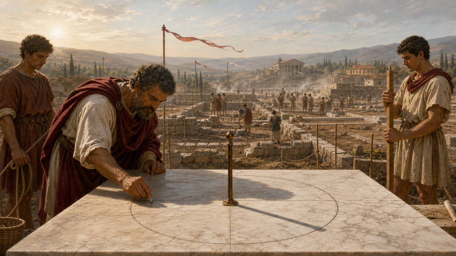
At the centre of the proposed city, Vitruvius prescribes a level marble table or an area smoothed with enough care to serve the same purpose. A bronze gnomon stands upright at its centre. The material details matter. A tilted surface or leaning pin would shift the observations before any geometric division began.
During the morning, the observer marks the end of the gnomon’s shadow and draws a circle through that point around the pin. As the sun rises, the shadow shortens and retreats inside the circle. After noon it lengthens. When its tip reaches the circumference again, the observer marks the afternoon contact.
The two equal-shadow points provide a line across the working surface. From it, the surveyor constructs the perpendicular direction and divides the circle. Vitruvius’s geometry then produces the eight wind quarters. The method does not ask someone to guess north from a familiar hill or remember where yesterday’s breeze began. It turns timed observations into drawn axes.
The same respect for a simple reference appears in the hanging weight that made vertical visible to Roman builders. A plumb line externalized down; the gnomon externalized orientation through the sun’s changing shadow. Both tools reduced an argument about what looked straight to a mark workers could share.
Precision still depended on practice. The surface had to be level, the gnomon upright, the points recorded cleanly and the construction transferred to a much larger site. The little circle was not the city plan. It was the reference from which survey lines could be extended toward future gates, blocks and alleys.
The safest streets occupied the gaps, not the rays
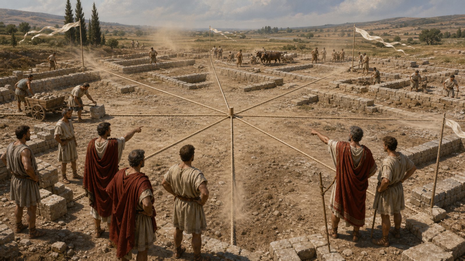
Once the wind rose existed, the obvious mistake would be to use its rays as street axes. Vitruvius does the opposite. Streets and alleys should be directed through the angles between wind quarters. A current arriving from one principal direction would then strike building fronts obliquely rather than rush uninterrupted down a long opening.
This reversal is the chapter’s most useful idea. The diagram identifies the force, but the city is organized around avoiding direct alignment with it. Survey knowledge becomes architecture through rotation.
The measure is preventive, not absolute. Wind bends around corners, spills over roofs and changes with season and local topography. An eight-part rose cannot eliminate movement in the air. It can deny the dominant directions the easiest corridors through the settlement. In Vitruvius’s reasoning, weakening the direct blast was enough to reduce its harmful effect.
The instruction also links scales that are easy to separate in hindsight. A shadow only a few handspans long determines a line on a tabletop. That line divides a circle. The divisions rotate a street. The street guides rows of façades, thresholds and rooms. Residents then experience the original observation as shelter at human scale, perhaps without ever seeing the geometry that produced it.
Roman urbanism was rarely made from one author’s diagram alone. Existing roads, military needs, coastlines, slopes, drainage and political display all competed for space. The value of Vitruvius’s account is not that it supplies a hidden key for every grid. It shows an architect imagining city planning as a sequence of environmental measurements and choices.
His wind rose made the atmosphere part of the plan before it became a complaint. The planner did not command the eight winds. He denied them a straight street.
That last distinction keeps the procedure practical. Vitruvius did not promise still air, perfect health or identical towns. He offered a way to observe, mark and respond. The bronze pin did not predict every season; it established a common orientation. The eight names did not exhaust every breeze; they organized the principal threats. The rotated grid did not defeat weather; it made walls interrupt it.
Architecture began, in this case, with leaving the most forceful lines empty.
Sources
Vitruvius, On Architecture 1.6
Perseus Digital Library edition of Vitruvius