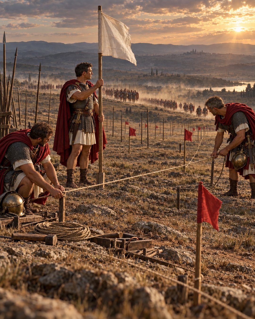
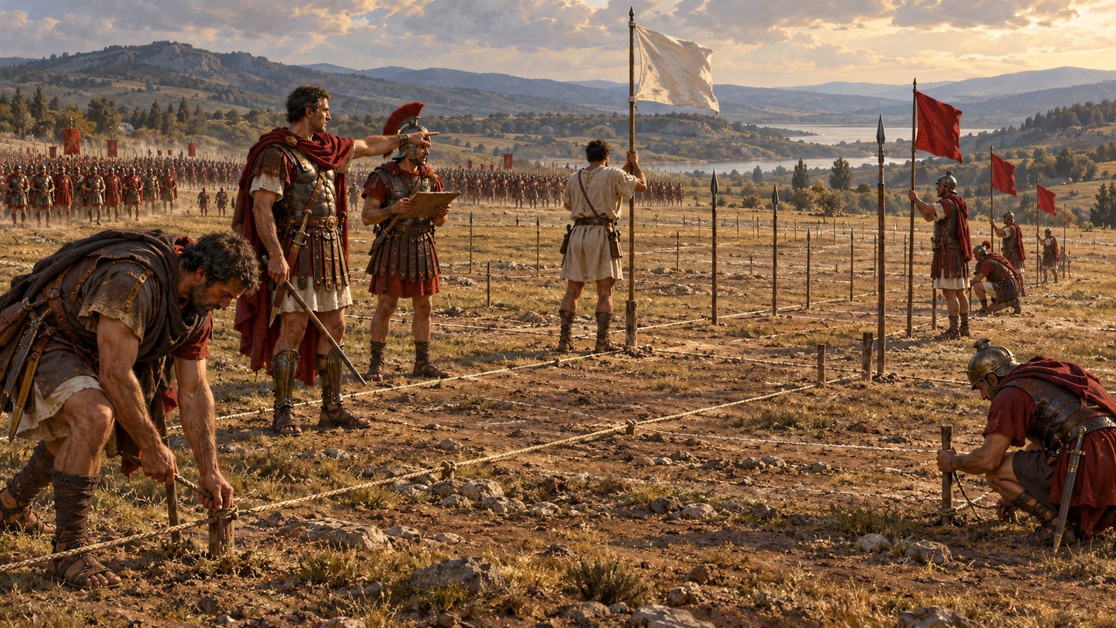
The army was still on the road when a small group stepped onto the chosen ground. One tribune and a set of centurions went ahead, carrying the measurements of a Roman camp in their heads. They did not begin by directing thousands of men. They chose a commanding point, stretched straight lines across the field, and planted a handful of markers.
One flag was white. Several were crimson. Other colours and simple spears completed the pattern. By the time the column came into view, an empty landscape had acquired a centre, a front, parallel baselines, and streets. Polybius says the arriving soldiers could reckon every part from the consul’s flag and walk to their own plots almost as citizens returned through a city gate to familiar houses.
The comparison explains the machinery better than a list of measurements alone. Rome’s camp was a portable settlement built from shared spatial memory. Standard positions reduced the number of new decisions required after a march. Surveyors encoded the plan on the ground; colour and alignment made it legible at a distance; repetition let each unit finish the translation for itself.
A survey party arrived before the army
Polybius begins with a small advance team. When the marching army approached its stopping place, one tribune and centurions specially assigned to the task moved ahead. They surveyed the whole site before deciding where the commander’s tent, the praetorium, should stand and which side of it the legions would occupy.
The choice was not arbitrary. The commander’s position needed a useful overall view and a place from which orders could be issued. Orientation also considered access to water and forage. A fixed design still had to meet the physical demands of the day’s terrain.
Once the centre and front were chosen, the group measured the praetorium area, the straight line reserved for the tribunes, and a parallel line from which the troop encampment would begin. Polybius stresses speed. The distances were already fixed and familiar, so the specialists were not designing a new settlement from scratch. They were fitting a known template to a surveyed site.
That distinction matters. Standardization did not abolish judgment; it concentrated judgment at a few critical points. The survey party selected the best reference point and orientation. After that, routine dimensions carried much of the organizational burden. The camp could respond to water, forage, slope, and visibility without surrendering the plan that soldiers recognized.
Four principal flags made measurements visible
Lines scratched or paced across rough ground were not enough for an approaching column. The surveyors therefore turned geometry into signs. Polybius describes four principal flags: one at the intended consul’s tent, another on the chosen facing side, a third in the middle of the tribunes’ line, and a fourth on the parallel line where the legions would begin their quarters.
Colour separated functions. The consul’s flag was white. The markers associated with the principal troop lines were crimson. On the opposite side of the praetorium, the team used flags of other colours or simple spears. More spears marked the streets.
This was not decoration. A flag could be seen above people, pack animals, dust, and uneven ground. The white marker supplied a single reference point; the coloured markers showed direction and hierarchy; the repeated spears broke open terrain into routes. A soldier did not need to inspect the surveyor’s rope or hear a fresh explanation. He needed to recognize the visual grammar.
The process also limited ambiguity. “Near the commander” was too vague for two legions, allies, cavalry, baggage, animals, markets, and stores. A known distance from a known line could be repeated. The marker system made the relationship between those spaces visible before canvas walls or fences concealed the original sightlines.
Habit sent each unit to its own address
The larger camp plan gave those markers meaning. Polybius says one simple arrangement was used consistently. The praetorium sat inside a measured square. The twelve tribunes attached to two legions formed a line fifty feet away, with room for their horses, mules, and baggage. Troop plots faced streets and commonly occupied fixed one-hundred-foot blocks, with depth adjusted when numbers required it.
Cross streets subdivided the grid. A fifty-foot passage called the quintana ran beside the fifth troop and company. Other routes linked the troops with the command area, market, and supply depot. The streets were not incidental gaps left after tents appeared. They were part of the measured plan and existed in outline before most inhabitants arrived.
That is why Polybius’s city comparison works. Every unit repeatedly occupied the same relative address. Soldiers entering the site could split at the gate, identify the white flag, count across the known arrangement, and reach the correct street. Their “house” was canvas and temporary, but its position within the system was stable.
The practice developed the general repeatability discussed in the broader story of Roman marching camps. Here the important mechanism is narrower: familiar geometry reduced communication. Officers did not need to shepherd every tent party one by one. The army had rehearsed where its parts belonged.
Repetition also connected separate routines. Once units reached their plots, the same street structure supported duties, guard posts, baggage handling, and the circulation of orders. The system behind the wooden watchword tablet passed through the camp depended on commanders and maniples being located in predictable relation to one another.
Convenience was bought with labour
Polybius contrasts the Roman choice with Greek practice as he understood it. Greek armies, he says, often adapted the entire camp to natural advantages and avoided some of the work of entrenchment. That produced varying shapes and could leave units uncertain about where their quarters lay. Romans accepted the fatigue of digging and construction to preserve one familiar type.
The fixed plan was therefore not effortless efficiency. Its convenience for movement and orientation was purchased through survey, measurement, entrenching, street marking, tent work, and repeated training. A regular camp demanded more immediate labour precisely because it promised less confusion later.
The two-hundred-foot open belt around the tents shows the same exchange. It gave units room to enter and leave by their own streets without crowding into a single passage. It also held animals and captured property and put distance between tents and enemy fire or missiles. The article on that deliberately empty perimeter follows its defensive effects. Within the present mechanism, the belt also protected circulation: the street grid had room to discharge men at the edge.
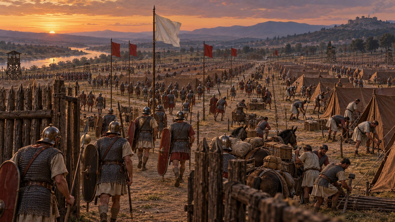
The result looked inevitable only after it worked. A white flag stood above the intended headquarters. Crimson markers fixed the major line. Spears made routes where no road had existed that morning. Pack mules turned toward baggage space; tent parties found their blocks; officers moved toward positions already implied by the survey.
Polybius’s image of soldiers returning home should not be mistaken for comfort. The camp was temporary, crowded, and built under military discipline. Its familiarity was functional. A person who knew his address could begin digging, unloading, guarding, or cooking sooner and with fewer conflicting orders.
Four flags did not build the walls. They did something prior and just as necessary: they gave thousands of labourers the same map without putting a map in every hand. The field became a Roman camp first as a shared set of coordinates, and only afterward as rows of tents, streets, gates, and earthworks.
Sources
Polybius, Histories, 6.26–42.