
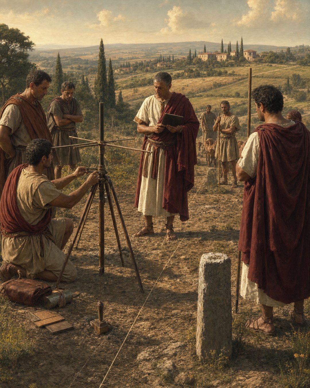
A Roman land dispute could begin with something small: a stone moved, a furrow crossed, a neighbor’s claim repeated once too often. The solution, at least in theory, required making the invisible argument visible.
Roman surveyors made land disputes visible because they turned ownership, taxation, settlement, and jurisdiction into measured lines on the ground. A field became political when someone could show exactly where it began and ended.
The surveyor gave conflict a shape
The agrimensor did not merely measure empty space. He transformed a quarrel into a layout: lines, angles, markers, records, and witnesses. The work made a claim stand somewhere specific.
Imagine a morning field with cords pulled tight, a groma standing upright, farmers watching the instrument, and an official waiting to hear where the boundary should fall. The dispute has become a scene.
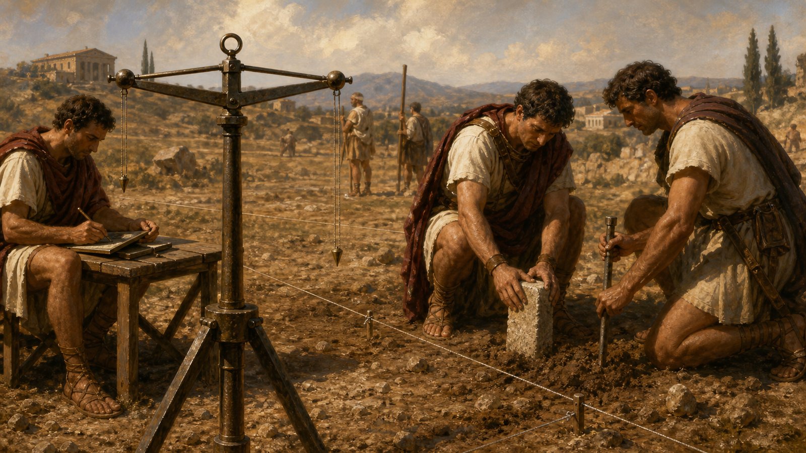
The groma made authority practical
The groma was a simple-looking instrument with serious consequences. By setting out straight lines and right angles, it helped translate decisions into a landscape people could walk across and recognize.
That mattered because Roman order often depended on repeatable procedures. A line laid out by a surveyor could be remembered, copied, recorded, challenged, or defended more easily than a vague tradition.
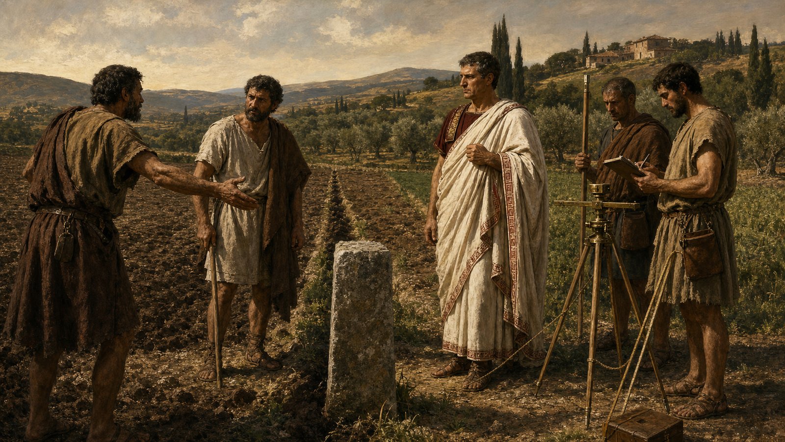
Boundary stones carried social pressure
A boundary marker was small compared with a wall or road, but it could hold enormous weight. It told neighbors that a claim had been materialized and that crossing it was no longer only a private disagreement.
The Roman association of Terminus with boundary markers shows that lines could carry religious as well as legal force. Land was not only economic space. It was protected memory.
Veteran settlement needed measured land
Colonies and veteran grants made surveying politically important. When Rome rewarded soldiers or secured territory, it had to place people on land in ways that could be administered and defended.
A veteran receiving a plot did not receive an abstraction. He needed edges, access, neighbors, obligations, and a record. Surveying turned imperial policy into a farm someone could occupy.
Measurement did not remove conflict
A measured boundary could still be contested. Stones could be moved, records disputed, witnesses bribed, and powerful neighbors favored. The point is that conflict now had objects around which to gather.
That is the revealing part. Rome did not end land anxiety by measuring land. It gave anxiety a vocabulary: lines, termini, instruments, documents, and official memory.
Land became legible to the state
Surveying made land easier to tax, grant, inherit, sell, and defend. It allowed the state and local communities to treat fields as units inside a larger system rather than as private impressions.
This is why Roman surveyors made land disputes visible. They turned a quarrel over soil into a public arrangement of marks, measures, and records that others could inspect.
The human stakes were high. A line could decide whether a family had enough land, whether a veteran’s reward felt real, whether a neighbor lost access, or whether a community accepted a colonial settlement.
The process also changed how people imagined territory. Land was not merely what a household remembered or a village tolerated. It could be divided by a technique that claimed to stand above local argument.
That claim to neutrality was powerful, even when practice fell short. Instruments can look impartial. A groma, cord, tablet, and stone suggest order before anyone asks who requested the survey.
Roman expansion made that impression useful. Conquered or reorganized land had to be made administratively familiar, and surveying helped Rome impose a grid of expectation on unfamiliar places.
Yet the surveyor’s scene stayed local. Dust, farmers, assistants, stones, and anxious faces mattered as much as policy. Empire entered the field through a practical act.
The boundary marker also made memory durable. Once a stone stood in the ground, future arguments had to begin with it, around it, or against it. The past remained physically inconvenient.
That inconvenience was the point. A visible line forces people to acknowledge that someone has already made a decision. It does not guarantee peace, but it changes the terms of disagreement.
The work also made old claims vulnerable. A family might remember an edge one way while the surveyor, record, or instrument presented it another. Memory had to compete with measurement.
This competition mattered because land was never only soil. It was inheritance, rent, tax, grazing, access to water, family continuity, and the visible proof that someone belonged in a place.
A boundary dispute could therefore feel like an argument over dignity. To lose a strip of land was to lose not only produce but recognition, because the corrected line told neighbors whose claim had prevailed.
The surveyor’s authority depended on performance as well as calculation. People had to see the instrument set up, the assistants moving, the markers placed, and the decision treated as something more stable than shouting.
Roman law and administration needed that performance. A written record mattered more when the landscape also carried signs that matched it, and a stone mattered more when a record could explain why it stood there.
For provincial communities, the process could be especially charged. Measurement might confirm local arrangements, but it could also announce that Roman categories now governed the land beneath people’s feet.
That is why the scene is so revealing: power becomes ordinary at the moment when a technical act changes where people may farm, walk, build, inherit, or argue.
For farmers, the line could become a memory aid as well as a threat. Children might learn where the marker stood before they understood the law behind it.
For officials, the same line made administration less dependent on personal recollection. A measured field could be entered into systems of tax, grant, and obligation.
That double use explains the durability of the practice. The boundary helped local people argue and helped Rome govern, even when those interests did not feel the same.
The instrument itself also carried drama. A groma in a field announced that someone had arrived with a method, and method could be more intimidating than force because it claimed to be ordinary procedure.
Once procedure entered the landscape, resistance had to answer in procedural terms: witnesses, documents, older markers, memory, or appeal. The argument became more Roman in form.
The result was not a peaceful countryside, but a more legible one. Dispute remained, yet the vocabulary of dispute now included instruments, stones, measured edges, and official records.
Legibility could feel like fairness when it protected a weak claim, and like intrusion when it exposed an old advantage. The same line could calm one household and anger another.
That tension is exactly why the surveyor matters. He stood at the place where Roman order became personal, where a technical decision touched harvests, heirs, neighbors, and local pride.
Roman land surveying therefore deserves attention because it shows power at the edge of ordinary life. The empire did not only conquer territory; it measured it until conflict had to answer to marks in the soil.
Sources & Further Reading
- Smith Dictionary, Agrimensores
- Smith Dictionary, Agrimensores
- World History Encyclopedia, Roman Roads
- Smith Dictionary, Agrimensores
- World History Encyclopedia, Roman Colonies