
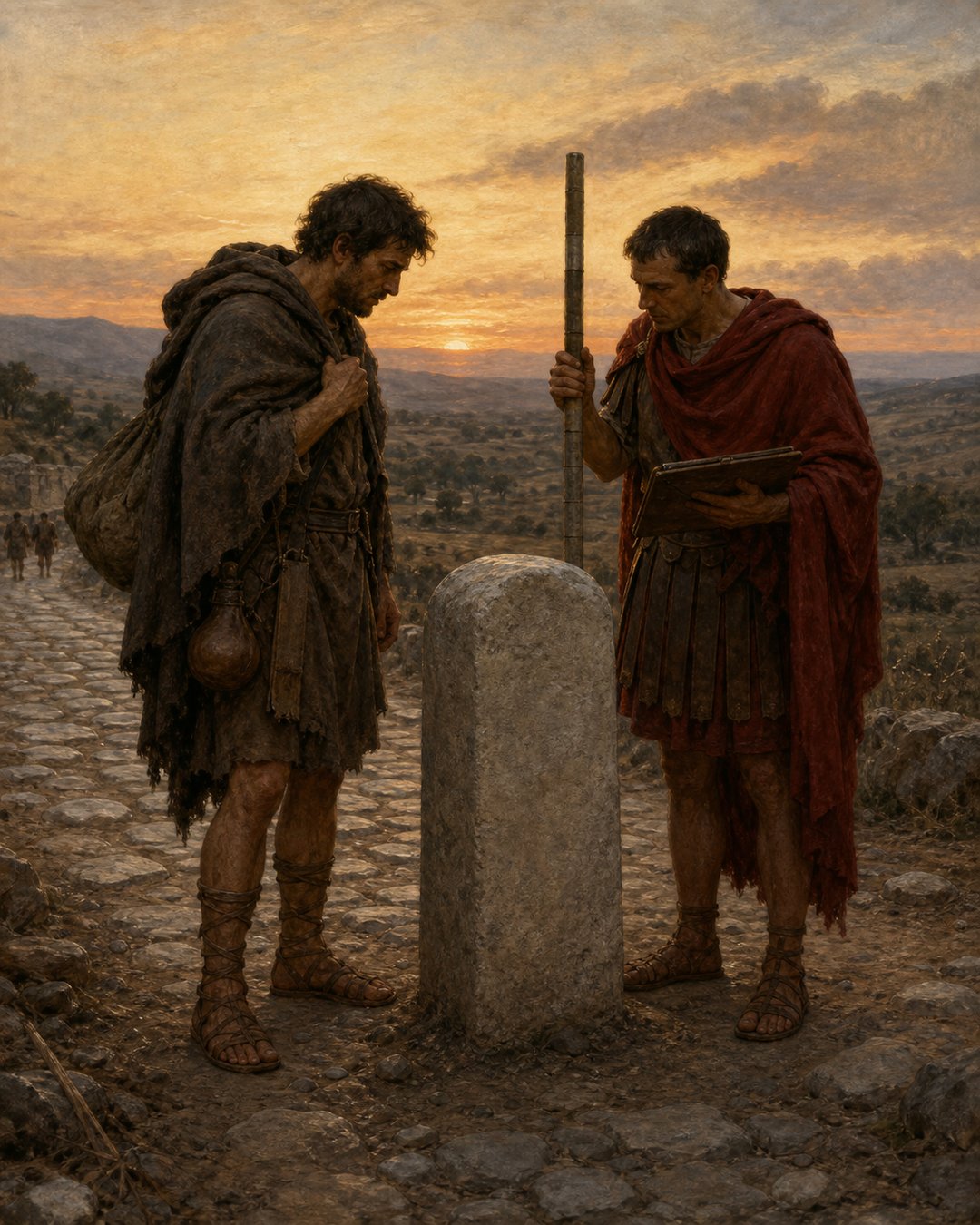
A Roman boundary could look ordinary from a distance: a stone, a line of sight, a field edge, a road, or a remembered limit between neighbors. Yet the moment land became measurable, it became easier to tax, assign, defend, and dispute. Measurement did not remove conflict. It gave conflict a public shape.
Roman surveyors made boundaries measurable by turning landscape into evidence. Poles, sight lines, marks, witnesses, and tablets helped translate soil into a claim that could outlive the people standing in the field.
Measurement Made Land Legible
Agrimensores were land surveyors, but their work was never only technical. They stood at the meeting point of earth, memory, law, and authority. A field that had been described by habit could be reimagined as a space with lines that someone else could inspect.
That inspection mattered because power becomes stronger when it can be repeated. A line seen once by a measuring party could be recorded, remembered, challenged, and checked again. Land stopped being only local knowledge and became something portable in Roman administrative language.
A Boundary Needed More Than A Stone
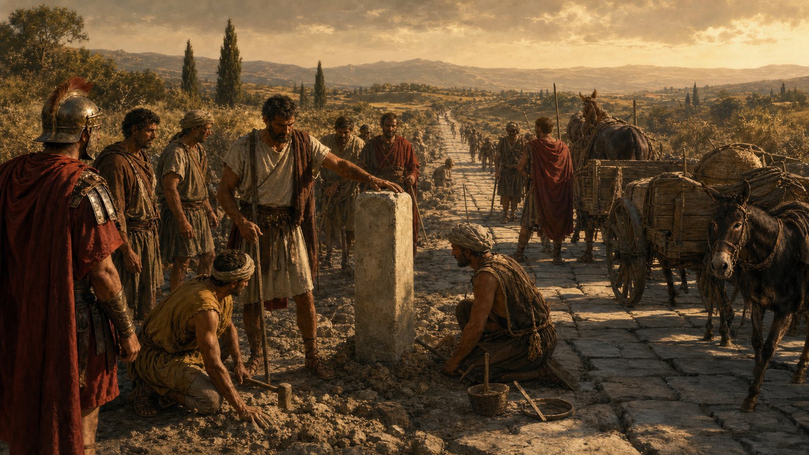
A marker by itself was vulnerable. It could be moved, forgotten, buried, or argued over. The surveyor’s task gave the marker a surrounding procedure: sight the line, set the point, involve observers, write the result, and let the community know where the claim now stands.
Picture the scene in physical terms. Dust lifts around sandals. A measuring pole catches the low sun. A clerk bends over a wax tablet while two neighbors watch the same stone with different hopes. The line is abstract, but the procedure is not. It has bodies around it.
Records Let The Field Travel
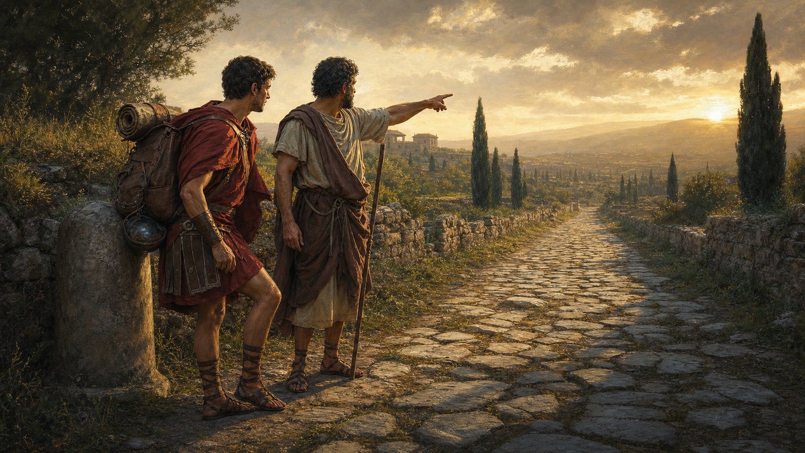
Tabulae, writing tablets, mattered because a boundary decision could not remain only in the field. Once the surveyor left, the community still needed a way to remember what had been measured. Records made the line travel into offices, disputes, accounts, and later inspections.
That portability changed the meaning of ownership and obligation. A person could point to the land, but an official could point to the remembered measurement. The tablet did not replace the boundary stone. It gave the stone a second life away from the soil.
Local Conflict Became A Public Question
Boundaries are emotional because they decide more than geometry. They shape inheritance, work, tax, access, grazing, roads, and neighborly peace. Roman surveying did not make these issues gentle. It made them discussable through marks and records rather than only through memory and accusation.
This is why the surveyor’s authority could be both useful and uncomfortable. He made private landscapes answerable to public method. When a line was measured, the argument could shift from who remembered best to what had been fixed, witnessed, and written.
The Empire Reached Ground Level
Roman authority is often imagined in armies, governors, and cities, but surveying shows a quieter reach. Power touched the ground when someone decided where one claim ended and another began. A field line could be as political as a monument because it shaped daily obligations.
The sensory details reveal the scale: cord pulled taut, pole upright, tablet wax scored, stone pressed into earth, neighbors waiting for the verdict. None of this looks grand, yet it decides how people live beside one another.
Why Measured Boundaries Lasted
Measured boundaries lasted when they combined object, memory, and procedure. The stone could be seen. The witnesses could remember. The tablet could be checked. The line could be walked again. A claim became stronger because it had more than one way to reappear.
The Roman lesson hidden in the surveyor’s field is that authority did not always arrive as a command shouted from a platform. Sometimes it arrived as a line drawn across dusty ground, small enough to step over, important enough to organize a life.
The public force of surveying also came from its slowness. A line had to be made carefully enough that a later person could retrace the logic. The surveyor’s value was not merely in producing an answer, but in producing an answer that could be inspected after anger returned.
That made the boundary a kind of memory device. It reminded neighbors where an agreement or decision had landed, and it reminded officials that land was not an empty surface waiting for theory. It was lived space, crossed by paths, planted with crops, and loaded with expectation.
The measuring scene therefore held several kinds of power at once. The central state wanted legibility. Local people wanted security. Disputants wanted advantage. The tablet, marker, and line allowed those wants to meet in a form that could be challenged without dissolving into pure rumor.
A surveyor could not make every decision fair, but he could make a decision visible. Visibility mattered because invisible decisions invite endless retelling. Once the line had a mark, a record, and witnesses, the argument had to address the public evidence as well as private grievance.
This is why measured land helped Rome feel durable. Roads, fields, estates, tax obligations, and settlements all depended on the idea that space could be fixed enough for repeated use. The empire needed grand maps less than it needed countless local measurements to hold.
A boundary stone might look humble beside an arch or temple, but it performed a harder everyday task. It told people where conduct should change: here one claim ends, here another begins, here memory must answer to a measured line.
The most important feature of this system was repeatability. A line drawn only in memory vanishes as soon as the witness dies or the quarrel changes shape. A measured boundary could be revisited, checked against a mark, and compared with a record, giving later disputes something firmer than a confident voice.
For Roman communities, that repeatability linked local life to larger order. Tax, inheritance, road access, cultivation, and settlement all became easier to administer when ground could be described in a way that others recognized. The surveyor did not float above society; he worked where official language met mud, crops, and neighborly suspicion.
The image is deliberately modest: no triumph, no emperor, no battlefield. Yet the effect could be lasting. Once a field edge had been measured and remembered, people had to organize daily conduct around it. A farmer plowed up to a line. A neighbor challenged a line. An official asked where the line had been fixed.
This makes surveying one of Rome’s everyday technologies of power. It reduced a landscape to points and distances without pretending that the landscape was empty. The measured line carried the weight of people who lived beside it, argued about it, inherited it, and sometimes resented it.
In that sense, the agrimensor made boundaries measurable by making them public. A mark on the land, a note on a tablet, and a group of witnesses could turn private certainty into shared evidence. Rome’s order was often built from exactly those small, inspectable acts.
Even the act of watching mattered. When several people saw the same measurement, the line gained a public audience before it gained a long history. That audience made the boundary harder to dismiss as one person’s convenient memory.
Sources & Further Reading
- Smith Dictionary, Agrimensores
- Smith Dictionary, Tabulae