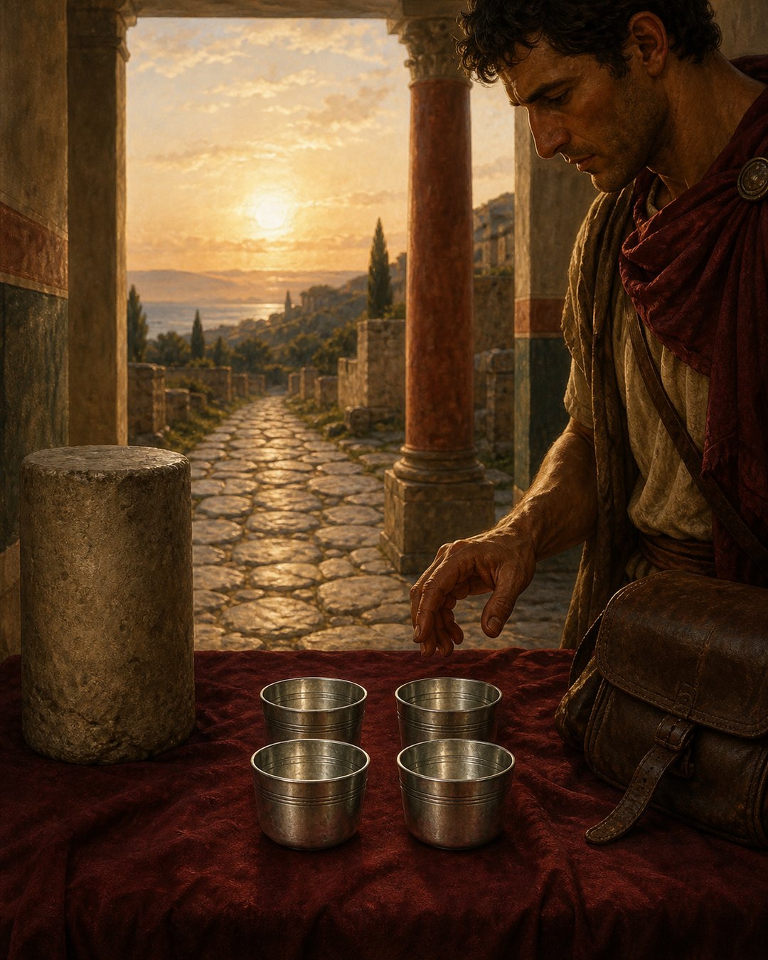
Four silver cups begin at Gades, the Atlantic port now called Cádiz, and end at Rome. Between those names, narrow columns of letters give station after station and the distance to the next one. The road does not appear as a line. It circles the vessels, making a journey of 1,840 Roman miles small enough to close inside one hand.
The cups were found in 1852 at Aquae Apollinares near Lake Bracciano, mixed into a huge deposit at the fissure where hot water entered a healing sanctuary. That location creates the central puzzle. Their itinerary crosses Spain, southern Gaul and Italy, yet it does not bring a traveller to Vicarello. In Italy it passes many kilometres east of the spring.
The objects therefore resist a single label. They look like milestones but can hold liquid. They preserve road information but were removed from travel and offered among coins and vessels. Read from rim to base and then placed back in their archaeological setting, they show how Romans could turn distance into both knowledge and memory.
The Atlantic Departure Sat at the Top
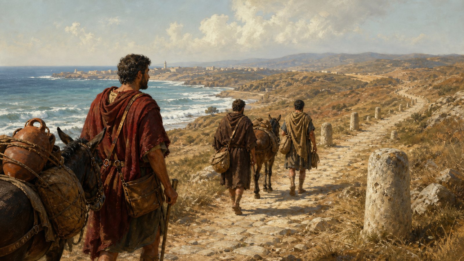
The itinerary starts with Gades, a wealthy port on an island at the edge of the Atlantic world. From there it moves inland through southern Hispania rather than choosing the direct sea voyage to Italy. Each place name is paired with a number marking the miles to the next station, so the reader advances by adding short, practical segments.
Across all four cups the route contains 104 stopping points and totals 1,840 Roman miles, about 2,723 kilometres by the usual conversion. The lists are not perfectly identical in every spelling or figure. Those variations matter because they show repeated acts of engraving and transmission, not four impressions struck from one modern-looking master plate.
The order leads north-east through the Iberian Peninsula, across the Pyrenees, along the road system of southern Gaul and then into Italy. The cups do not describe weather, gradients, food or danger. Their discipline is narrower: name, interval, name, interval. A continent-scale movement becomes a chain of measurable decisions.
That chain complements the surviving milestones that fixed distances in landscapes. A roadside stone told a traveller where one point stood. The silver cups collected an entire succession of points, allowing the route to be contemplated beyond any single road verge.
Milestone Shapes Made the List Legible
The four vessels are cylindrical and roughly 9.5 to 11.5 centimetres high. Their proportions recall milestone columns, but miniaturization changes the encounter. A monumental marker demands that a body pass beside it. A cup can be turned, tilted and carried while the eyes follow columns engraved around its outer surface.
The layout controls reading. Place names form a vertical sequence, distances occupy their own compact space, and the circumference supplies room for a list longer than one flat face could comfortably hold. Turning the vessel becomes the physical equivalent of progressing along the itinerary. Geography is not pictured; it is performed by the hand.
Silver gave the records a social and visual weight beyond ordinary notes. The metal catches light in incised letters and makes the road list part of a valuable object. Yet value alone does not explain function. A richly made cup could commemorate a completed journey, display knowledge of connected places, honour a recipient or serve at a table before entering a sanctuary.
Calling them ancient guidebooks is tempting but too neat. A working traveller needed decisions about lodging, branches and local conditions that the inscriptions omit. The cups instead preserve a selected route with exceptional compression. They are durable summaries, not turn-by-turn instructions in the modern sense.
A Spring Held Centuries of Offerings
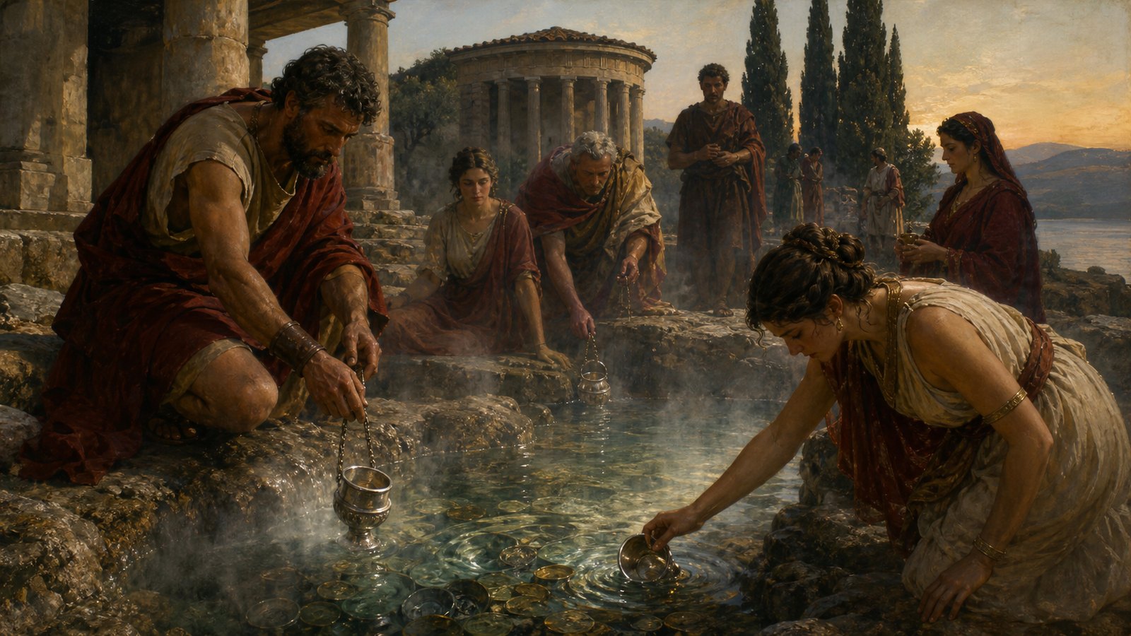
Workers discovered the deposit while renovating the thermal establishment in 1852. To reach metal objects blocking the rocky fissure, they had to lower the water. The recovered mass included weighed bronze, Greek, Etruscan and Roman coins, gold, silver and bronze vessels, figurines, plates and other deliberate gifts.
The Museo Nazionale Romano describes a ritual sequence extending from the Archaic period to at least the fourth century CE. That long span prevents the cups from defining the sanctuary by themselves. They joined an already old practice in which worshippers committed valuable material to hot water connected with divine healing.
Inscriptions and figurative objects identify Apollo as the principal healing deity, with Nymphs and other gods also represented. A gift dropped into the spring was not hidden savings awaiting recovery. Its removal from ordinary use was the act. Heat, depth and the accumulating metal deposit made devotion physically irreversible.
This sacred landscape resembles Rome’s use of water and place in healing cult, but the Vicarello evidence is materially different. Here centuries of small decisions accumulated inside a natural fissure, and four road-bearing vessels became part of that collective memory.
The Listed Road Never Reached Vicarello
Once the route enters Italy, it follows the Via Flaminia through places including Narnia and Ocriculum. Vicarello lies well to the west, near Lake Bracciano. Nothing in the engraved sequence directs the traveller to the sanctuary where the cups were eventually deposited. The mismatch is an archaeological fact, not a gap to be solved with a convenient detour.
One proposal imagines merchants from Gades dedicating the cups after completing business travel to Rome. It explains the western starting point and gives the route a human occasion. It also raises a practical difficulty: sea travel between southern Spain and Italy could be faster and cheaper than the very long overland journey commemorated in silver.
Another proposal links the vessels with Lucius Junius Caesennius Paetus, a Roman senator associated with a villa at Vicarello, suggesting that Spanish visitors may have presented them before they reached the spring. The chain is possible, but the cups do not carry a surviving dedication that names such donors or narrates the transfer.
The safest conclusion separates what the objects prove from what interpreters hope to recover. They document a particular route, a first-century craft object and final deposition at Aquae Apollinares. They do not identify the engravers, travellers, owner or precise vow. Their movement from road knowledge to sacred gift remains visible even though its actors are not.
Intervals Made an Empire Graspable
The itinerary’s strongest idea is cumulative scale. No traveller experiences 1,840 miles at once. People meet the next climb, bridge, lodging place or town. By listing 104 stations and the intervals between them, the cups express long distance as repeated arrival. Rome becomes reachable because every immense span has been divided.
That structure also reveals dependence. Roads mattered, but so did recognized place names, maintained surfaces, river crossings and stopping points. The cups assume a shared geography in which an engraver and reader could treat Gades, Narbo, Ariminum and Rome as members of one ordered route. The silver records connection without pretending every segment felt alike.
Their later history breaks that practical sequence. At the spring, the inscriptions ceased to be information moving with a traveller. They became fixed offerings beside aes rude, coins and vessels from other generations. A route ending in Rome acquired a second ending in hot water, far from its own list.
That is why the Vicarello Cups are unusually revealing objects of Roman mobility. They make distance tactile without showing a map, demonstrate how stations organized thought about travel, and preserve the uncertainty that follows portable things. The road is exact enough to count, while the journey that carried the cups to the spring is lost.