
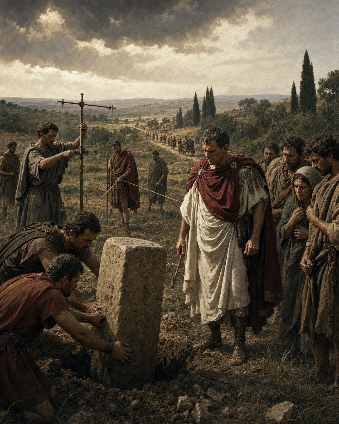
A boundary stone looks quiet until people disagree about it. Then it becomes a witness, a threat, a memory, and a piece of government in the soil. Romans understood that land was not only earth. It was measured earth, inherited earth, taxed earth, sacred earth, and sometimes conquered earth.
That is why Roman boundary stones made land political. A marker at the edge of a field could carry more than a line. It could carry the authority of surveyors, magistrates, veterans, neighbors, gods, documents, and memory. The stone made a claim visible, and visibility is where politics begins.
Surveying turned space into order
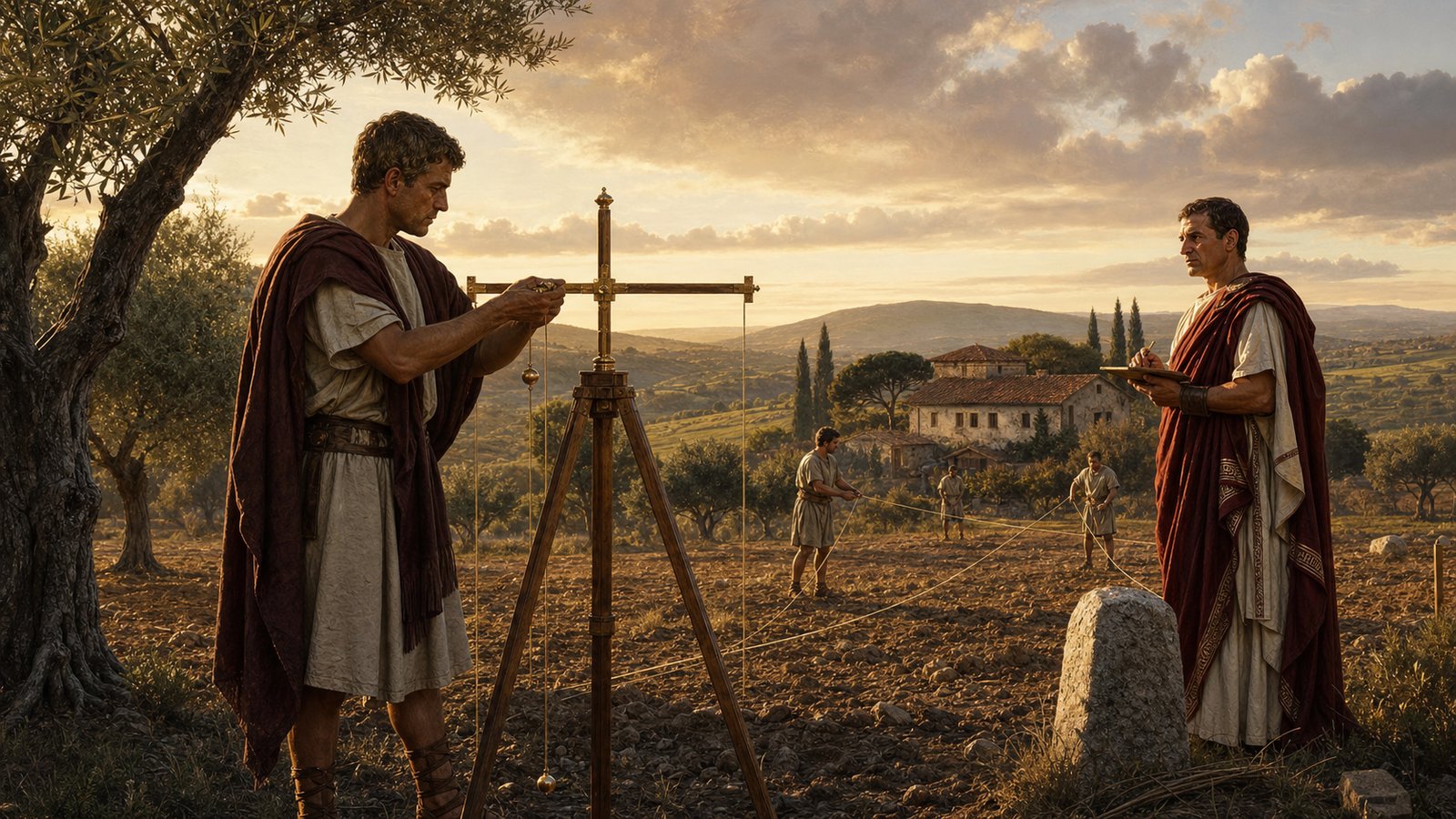
Roman land surveyors, the agrimensores or gromatici, used instruments such as the groma to lay out straight lines and right angles. This work can sound technical, but measurement was never neutral when land was valuable. A line on the ground could decide who planted, paid, inherited, or argued.
The groma mattered because it transformed judgment into procedure. Assistants, ropes, stakes, sightlines, and witnesses helped make a boundary appear less like someone’s preference and more like a recognized order. The instrument gave authority a practical shape.
A stone made the line endure
A surveyed line needed a marker people could return to. Boundary stones gave memory a body. They stood through seasons, harvests, sales, deaths, and disputes. Even when documents were lost or witnesses died, a stone could remain in the field insisting that the past still mattered.
That durability made the marker powerful and vulnerable. A stone could prevent conflict by clarifying a limit, but it could also become the center of conflict if moved, damaged, ignored, or reinterpreted. The quiet object carried the possibility of litigation.
Terminus made the boundary sacred
Roman boundaries were not only administrative. Terminus, the god associated with boundary markers, and the Terminalia festival show that limits could be wrapped in religion. Ovid’s Fasti preserves the ritual imagination around markers, offerings, neighbors, and the sanctity of the line.
This sacred layer mattered because it made boundary violation more than inconvenience. Moving a marker could look like an offense against neighbor, law, memory, and divine order at once. Religion helped teach people that limits should be respected even when no official was watching.
Colonies made measurement political
Roman colonies and veteran settlements often involved land allotment. In those contexts, surveying did not merely describe a landscape. It reorganized one. Fields could be divided, assigned, recorded, and connected to a new political order.
For a veteran settler, a measured plot could be reward and security. For existing communities, the same measurement might signal loss, negotiation, or subordination. The boundary stone could therefore feel different depending on which side of the line a person stood.
Grids could outlive the moment of conquest
Centuriation divided land into regular surveyed patterns in many places. Such grids are among Rome’s most revealing tools because they made power repeatable. Roads, plots, drainage, property, and tax expectations could be fitted into a landscape that had been made legible.
This did not mean every field became perfectly ordered or every dispute disappeared. It meant the state and its agents had a language for returning to the land. A measured grid allowed authority to remember places in a systematic way.
Disputes exposed the political edge of property
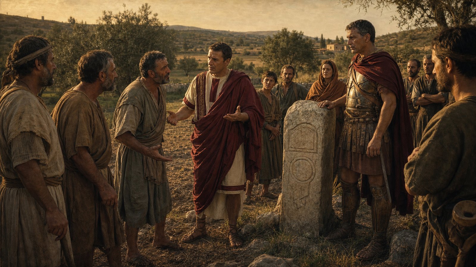
Property disputes show why boundaries matter. People argue most fiercely over lines when those lines connect to livelihood, honor, inheritance, and status. A few feet of land might mean a path, a tree, irrigation access, a wall, a grave, or a future sale.
This is why Roman boundary stones made land political. They turned possession into a visible claim and gave communities something concrete to obey, contest, swear by, or fear. The marker stood in the field, but it also stood inside Roman law, ritual, colonization, and memory.
The stone also changed how people told stories about land. A family could say a field had always reached to the marker; a neighbor could dispute that memory; a surveyor could be called to restore the line. The object made memory public enough to be challenged.
That public quality mattered in a world where local witnesses and reputation carried weight. A boundary was rarely only a private understanding between two owners. Paths, water, grazing, inheritance, taxes, and sacred obligations could pull others into the argument. A stone gave the community a focal point.
Roman technical writing about surveying preserves a world in which geometry and law meet. Angles, grids, roads, ditches, and stones were not abstract exercises. They were methods for deciding how people would live beside one another after conquest, settlement, sale, or inheritance.
The sensory detail is easy to forget. A boundary marker sat in weather. It gathered dust, moss, offerings, scratches, and attention. Farmers saw it while plowing; children learned it as an edge; officials might inspect it during a dispute. Authority became part of the landscape’s ordinary furniture.
Because the marker was ordinary, it could be powerful without drama. No army needed to stand beside it every day. The stone worked by reminding people that a decision had already been made and that the decision had witnesses behind it.
This is also why moving a boundary marker could feel so dangerous. It was not merely moving rock. It was trying to move memory, obligation, and recognized order. The act attacked the trust that allowed neighbors to treat land as settled.
In conquered or colonized settings, the problem sharpened. A new grid could overwrite older uses of land. Veteran allotments could translate military service into property. The boundary stone then became a small monument to a larger political transformation, one field edge at a time.
The best way to see the issue is to imagine the moment after the officials leave. The ropes are gone, the witnesses return home, and the surveyor packs up his instrument. The stone remains. It waits for plowing, grazing, inheritance, resentment, and memory to gather around it.
That waiting is political because it lets a past act govern future behavior. People who never saw the original measurement still live with its consequences. A marker makes authority durable not by speaking loudly, but by being present when people decide where a field ends and another claim begins.
The same marker could also remind people that Roman order was made by human hands. Someone chose the line, someone watched the measurement, someone accepted or resented the result, and someone later taught children where the edge lay. Boundary stones mattered because they compressed all of those acts into one visible object.
That compression made the countryside legible to law and memory at once. A passerby might see only a stone, but an owner saw inheritance, a tax collector saw assessment, a neighbor saw obligation, and a settler saw reward. The politics of land began when those meanings met at the same fixed point.
Sources & Further Reading
- Smith Dictionary, Agrimensores
- Smith Dictionary, Groma
- Oxford Classical Dictionary, centuriation
- LacusCurtius, Terminus
- Ovid, Fasti, 2
- Britannica, Roman colony
- Cambridge Core, Roman Land Surveyors
- Roman Law Library, Twelve Tables and Property
- Cambridge Core, Roman Landscapes